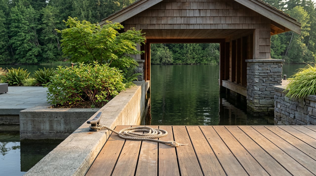
Anyone who has parked at Heritage Park on a Saturday morning in August has seen it: a hand-lettered warning sign staked near the boat launch, a scattering of green scum along the shoreline, and no real way to tell from the parking lot whether the whole lake is off-limits or just the water right in front of you. For years, the answer from the county was usually the same. One bad water sample anywhere on Lacamas Lake, and the advisory covered all of it, every cove, every paddle route, every place a dog might wade in on a hot afternoon.
That is no longer entirely true, and the reason why is worth understanding if you live anywhere near the water.
The Cove Was Always the Problem
Lacamas Lake is a 315-acre lowland lake that sits about a mile north of downtown Camas, formed from an old channel of the Columbia River. It looks deep from a kayak, and in the middle it is, dropping to roughly 60 feet. But almost nothing lives below about 18 feet down. The lower two-thirds of the lake's depth is functionally a dead zone, starved of oxygen by decades of phosphorus and nitrogen washing in from surrounding farm fields, older septic systems, and the neighborhoods that have grown up around the shoreline since the 1990s.
That chemistry makes the lake bloom-prone almost everywhere, but not evenly. The city has said plainly that one stretch does most of the damage: the Cove, the stagnant pocket of water right next to the boat launch at Heritage Park. Stiller water there warms faster and holds nutrients longer, which means the Cove blooms first and blooms worst, even in summers when the rest of the lake looks clean. The trouble is that Clark County's testing protocol has historically treated the whole lake as one body of water, so a bad sample from the Cove has been enough to trigger a warning sign at every access point on the lake, whether or not the rest of it deserved one.
What Actually Changed This Year
This year that changed. The Washington Department of Ecology approved the city's Lacamas, Round, and Fallen Leaf Lakes Management Plan, a document five years in the making that includes a formal Lake Cyanobacteria Management Plan for how the city monitors and responds to blooms going forward. One concrete result: the city is now moving to physically wall off the Cove itself, marking it with buoys and fencing and dedicated signage rather than relying on a single lake-wide advisory to do that job. The idea is to isolate the part of the lake that actually has a chronic problem instead of shutting down recreation across all 315 acres every time it flares up.
The city backed that plan with action this summer. On Wednesday, July 22, 2026, the Leadbetter boat ramp closed to the public for a day so contractors from Aquatechnex could apply an Aluminum Sulfate treatment aimed at reducing the phosphorus that feeds these blooms in the first place. That is a different posture than simply waiting for the county to post a warning sign and waiting again for it to come down. It is the city trying to get ahead of the chemistry rather than reacting to it after the fact.
The Two-Week Rule, and Why the Signs Seem to Flicker
If you have ever wondered why a warning goes up, comes down two weeks later, and then reappears a few days after that, there is an actual protocol behind it, not inconsistency. Once cyanotoxin levels in a water sample cross the state's threshold, the county posts a warning and starts weekly testing. The advisory only comes off once toxin levels stay below that threshold for two consecutive weeks.
The 2024 season is a clean example of how fast that can flip. Clark County issued a warning advisory for Lacamas Lake on July 3 that year. It came off on August 22, after two straight weeks of clean samples, with public health noting that water quality had genuinely improved even though a bloom persisted right at the Heritage Park boat launch. Four days later, a sample taken August 26 came back over the threshold again, and the warning went right back up. Round Lake, which connects to Lacamas Lake through a channel under the SR 500 bridge, was going through its own version of the same cycle at the same time, with its advisory lifted the same week Lacamas Lake's was reissued.
None of that is the county being careless. It is what a shallow, nutrient-loaded lake does in the middle of a warm summer. The signs are a live readout of a system that changes week to week, not a one-time judgment about the whole lake for the whole season.
What's Likely Coming Before the Leaves Turn
There is a second seasonal event worth watching for, and it tends to matter more than people expect. Each fall, the city draws down Lacamas Lake by roughly six feet so crews can inspect and repair the dam. In 2023 that drawdown began September 11. In 2024 it began September 16. Refilling has historically started around the end of October and taken several weeks depending on rainfall.
The city has said openly that in past years, the lowered water level during the drawdown has made water quality worse, not better, at least temporarily. Less water means less dilution, and whatever nutrients are still circulating get more concentrated right as the lake shrinks. If this year follows the same calendar the last two have, the drawdown window will open sometime around mid-September, which means it would not be surprising to see another round of advisory signs appear right as the weather starts to cool, well after most people have mentally filed the lake under "summer problem, solved."
Where to Actually Check, and Where the Dog Can Still Go
None of this means avoiding the lake. It means knowing where to look before you load the kayak or the leash.
- Clark County Public Health posts current advisories, updated as conditions change, at its public beaches page. That is the fastest way to know whether a given week's warning is lake-wide or Cove-specific.
- The Heritage Park Trail is a 6.9-mile out-and-back that runs right along the lake, rated for all skill levels and open year-round. Dogs are welcome on leash. It is a land trail, so water advisories do not close it, though the city's standing guidance is to keep pets away from any visible scum along the shoreline.
- Heritage Park itself is a modest 5.5 acres with the boat launch and one trailhead. A second trailhead sits off NE Goodwin Road if you would rather start from the north end of the lake and avoid the Cove entirely.
- The city's own explanation of the management plan, including the Cove closure details, is posted on its Engage Camas page if you want the source rather than the summary.
The lake is not a single condition you either trust or avoid. It is a small stretch near one boat launch that runs hot most summers, a much larger body of water that is often fine at the same time, and a city that finally built a system to tell the two apart instead of posting one sign for all of it. That is a better way to read your own backyard than checking a warning sign and guessing.
If you are watching Camas from a distance and wondering what it actually feels like to live near this kind of water, on this kind of trail, that is exactly the sort of texture we spend our time on. Rebecca Lee Real Estate works this corridor daily, from Lacamas Lake's shoreline neighborhoods to the rest of the Portland-Vancouver market, and we are glad to talk through what a specific street or stretch of shoreline is really like before you ever ask about a listing.